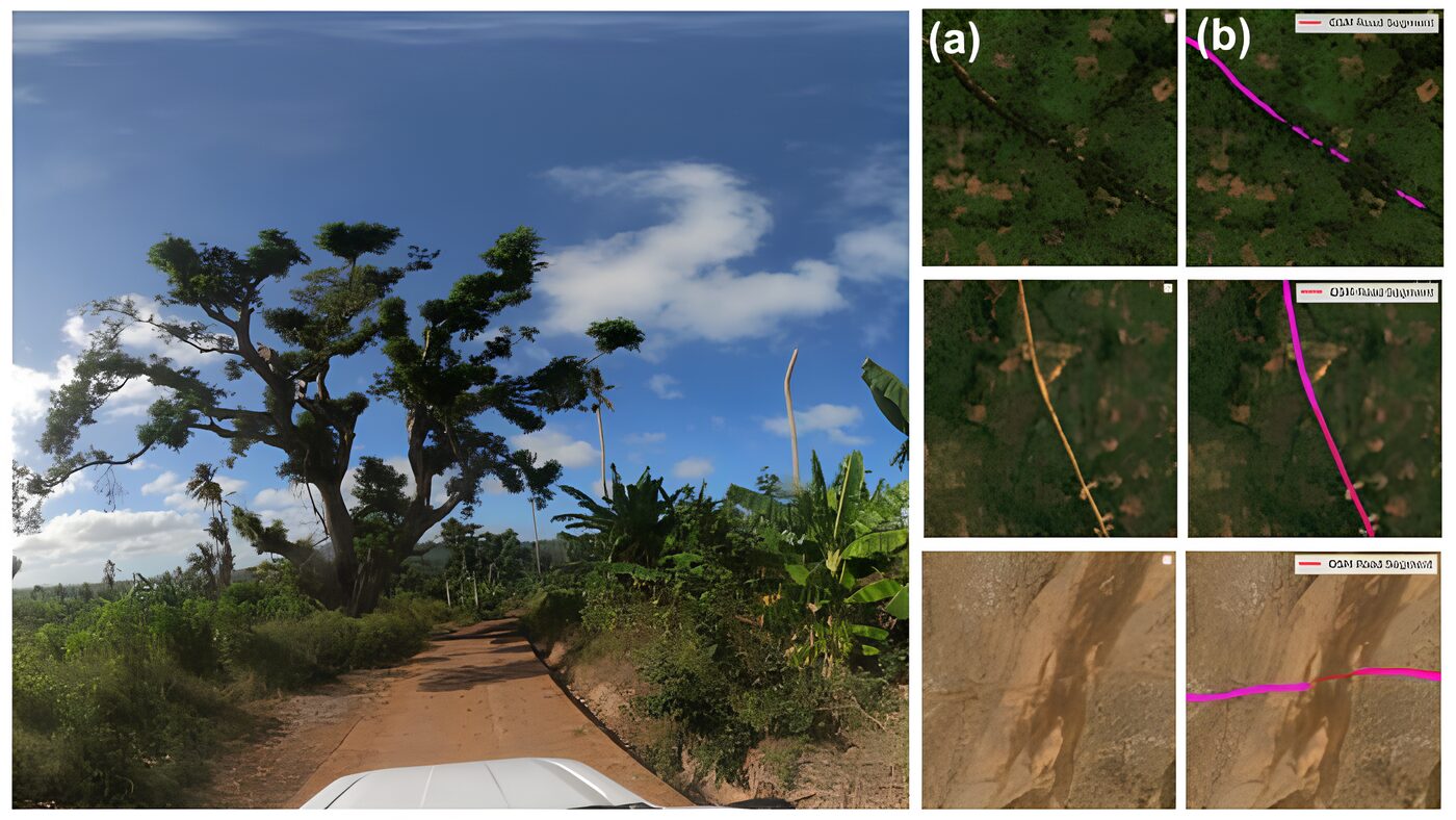

Researchers have combined deep-learning models with high-resolution satellite imagery to classify 9.2 million kilometres of global transport routes, creating a new dataset designed to assist humanitarian routing and infrastructure tracking.
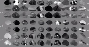
The Heidelberg Institute for Geoinformation Technology (HeiGIT) developed the dataset by analysing 3-4 metre resolution PlanetScope imagery collected between 2020 and 2024. The resulting classification system achieved an accuracy rate of 89.2 per cent, outperforming widely used open datasets by more than 20 percentage points.
A key feature of the project is the Humanitarian Passability Score, an index that evaluates accessibility based on surface type and road width.
“With this dataset, humanitarian actors can identify which routes are likely to remain accessible under extreme weather or seasonal disruptions,” said Prof. Alexander Zipf, HeiGIT Scientific Director. “It provides a missing piece for navigation in regions where reliable road information is scarce.”
Infrastructure tracks development
The analysis revealed significant global disparities in infrastructure quality. While road networks in Europe and North America are more than 96 per cent paved, Sub-Saharan Africa averages only 63 per cent paved coverage, with infrastructure deficits concentrated primarily in rural areas.
Researchers found that regions with higher shares of paved roads and faster paving rates correlate with higher Human Development Index levels. The multi-temporal design of the dataset allows users to track these shifts as new infrastructure is built or existing roads deteriorate.
“Unlike traditional indicators such as nighttime lights, road networks reveal development at the local level, showing how change unfolds on the ground,” said research lead Dr Sukanya Randhawa. “By linking satellite imagery to patterns of economic development, we turn infrastructure change into a measurable signal of both progress and vulnerability.”
The dataset is available via the United Nations Humanitarian Data Exchange and will be updated annually.